Mountain Bike
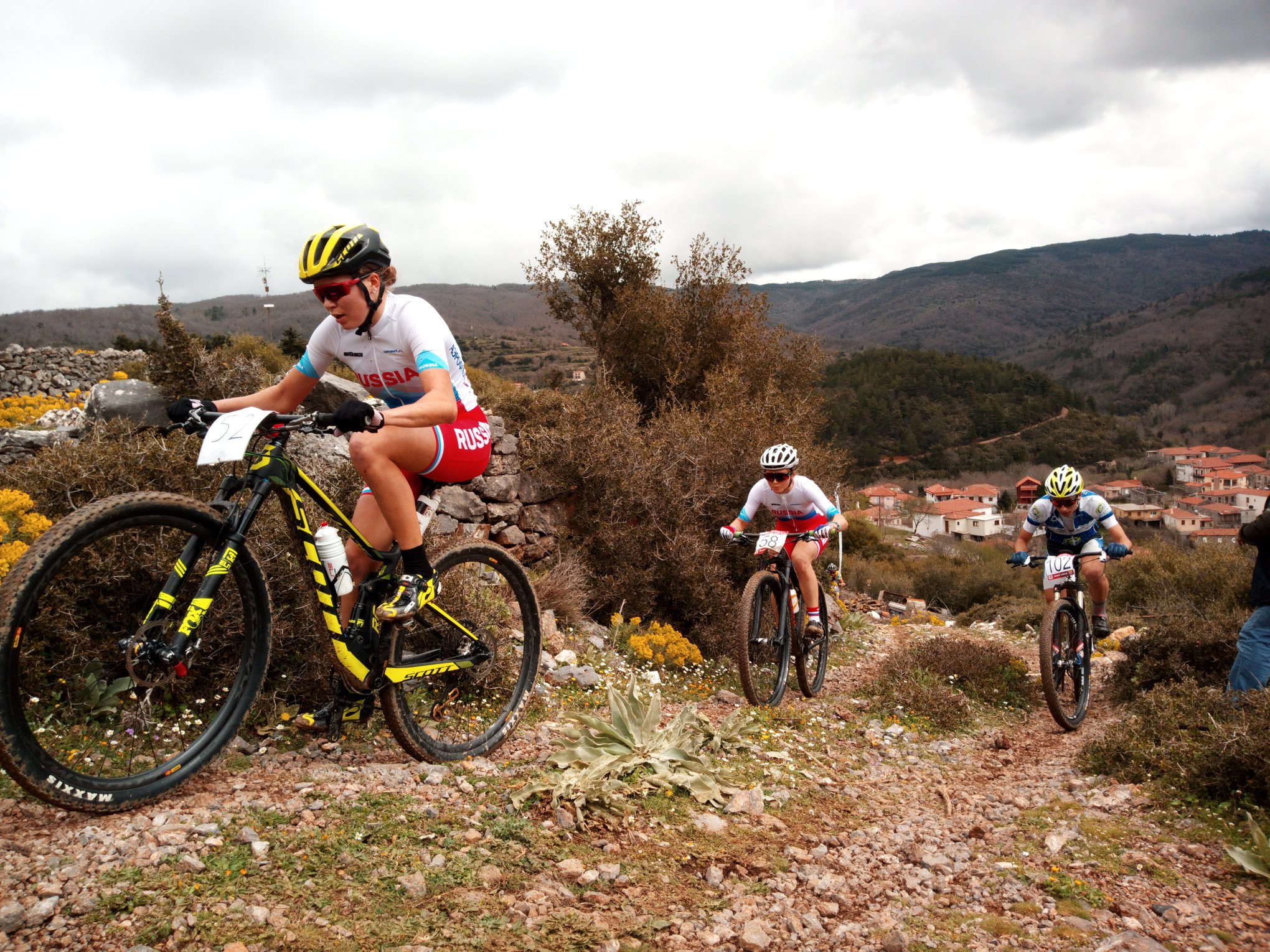
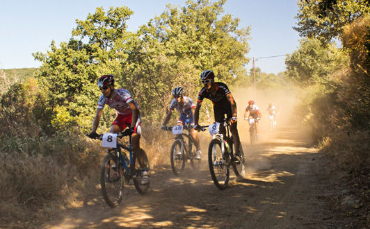
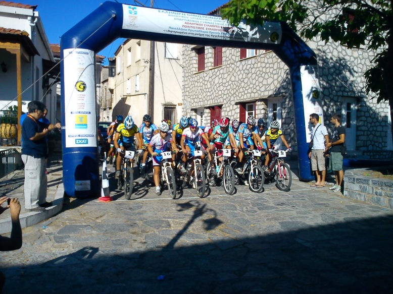
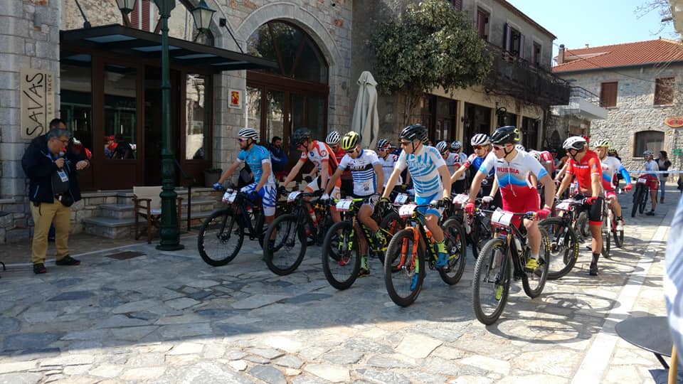
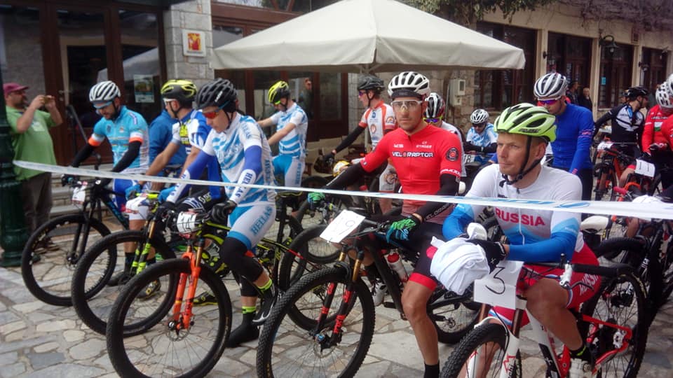
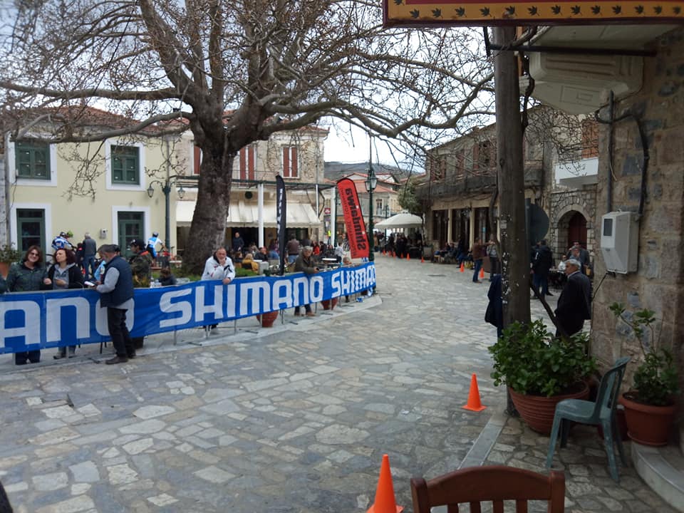
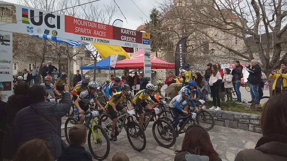
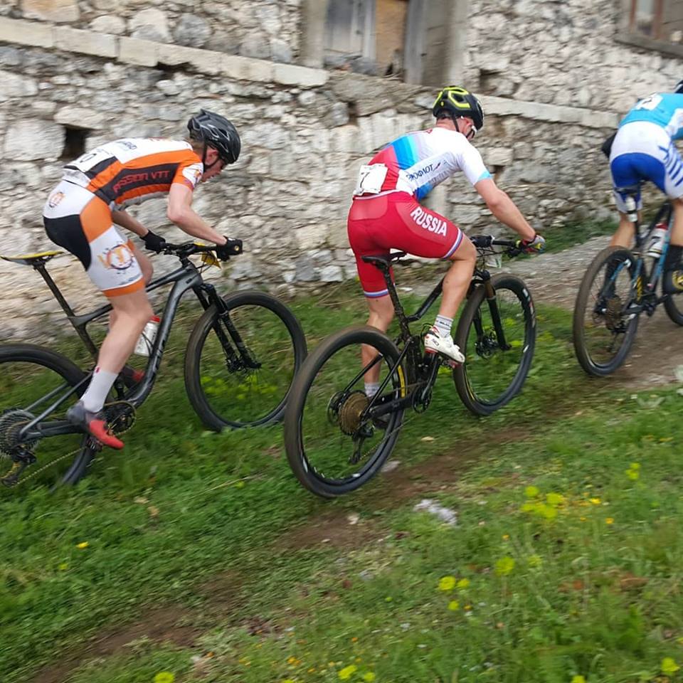
In the region of Karyes are etched special trails for mountain bike. These trails were used in 2012 by the Greek Cycling Federation to conduct the National Championship Mountain Bike, but also for international UCI MTB cycling races included in the World Cycling Federation Program (UCI), such as the Sparta MTB Races in 2019 with the participation of many athletes from Greece, Russia, Japan, Czech Republic, Romania, Georgia, France, Italy, Bulgaria and Lebanon.
These trails are fully labeled and they cross beautiful routes in the forest of mountain Parnon. Τhe signaling of the Bicycle Ρoutes Network was financed by funds of the "Panagiotis Kerhoulas Trust".
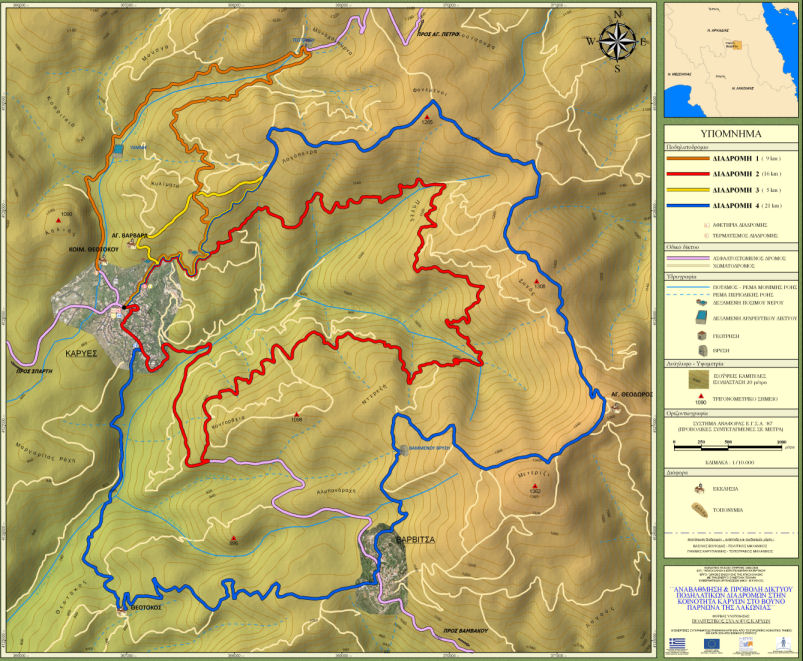
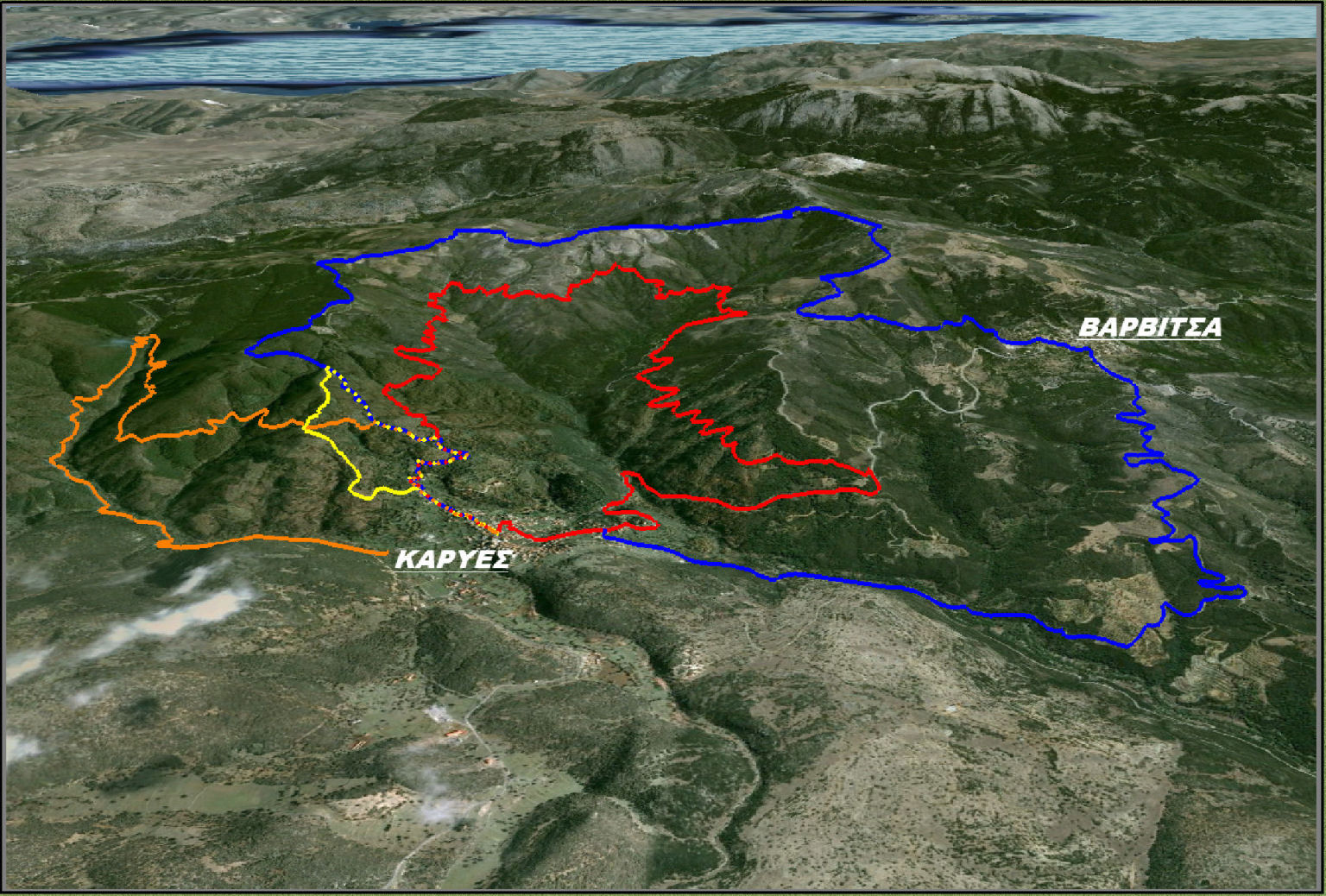
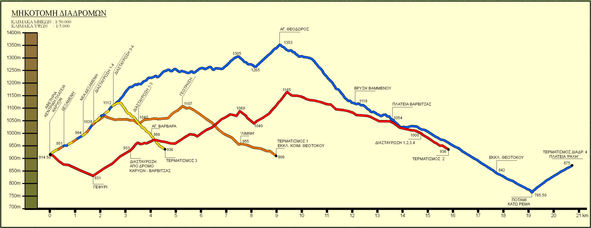
In the central square of the village there is a fully updated map of the four cycling routes that start from Karyes and below you will find the relevant maps and graphs.
Cycling Route 1
With a length of 9.3 km and an altitude difference (ascent) of just 394 meters, the marked Cycling Route 1 is a relatively easy route, suitable for all cyclists. The starting point of the route is in the central square of Karyes, and the first part (about 4.2 km) is on asphalt with a gentle uphill slope (basically, the whole ascent is on this part). From the main square, and following the sign with the number 1, turn right and follow the main asphalt road to Agios Petros. After 500 meters you reach the chapel of Panagia and the homonymous spring where you will fill your hermit crab with cool water. At 4.2 km leave the asphalt and turn right on the narrow forest road, where you will enjoy a relaxing and enchanting cycling through the dense forest with chestnuts and oaks, descending smoothly until you return to Karyes.
Map and Images of the Cycling Route 1
Click to view images enlarged
Cycling Route 2
For the most demanding cyclists, the 16 km long Cycling Route 2 is a magical experience. Most of the kilometers are in forest roads in the oak and chestnut forest that covers the slopes of Parnonas east of the village. The altitude difference (ascent) of 866 meters is smoothly "divided" mainly in the first half of the route and it does not tire the cyclist.
Map and Images of the Cycling Route 2
Click to view images enlarged
Cycling Route 3
The ideal route for the whole family, for beginners who want to know the beauty of MTB, for untrained people who want to rest. It is only 4.9 km and has a small altitude difference (ascent 245 meters), but it is a "pure" mini mountain biking route as it is almost all on forest roads that cross one of the most beautiful forests right next to the village.
Map and Images of the Cycling Route 3
Click to view images enlarged
Cycling Route 4
The circular Cycling Route 4 is very demanding, through landscapes with magnificent views and through the most beautiful forests of Parnon. Its total length is 21.7 kilometers, and the total altitude difference (ascent) is 887 meters.
Map and Images of the Cycling Route 4
Click to view images enlarged


